Greenland and Antarctica have lost 11.3 trillion tonnes of ice since the 1970s, raising global sea levels by more than 3 centimetres. They represent around a quarter of all global sea level rise. The most significant part of the combined loss (84%) was driven by glaciers speeding up and pouring more ice into the ocean, with just 16% due to surface melting.
Scientific Data, Mass balance of the Greenland and Antarctic ice sheets from the 1970s to 2023.
This research comes from the most complete picture of ice loss from Greenland and Antarctica now: IMBIE, an international team of polar scientists supported by ESA and NASA. At isardSAT, we have developed the software to aggregate ice estimations from different sources of satellite and in situ data, enabling understanding of the evolution of the ice sheets in a single time series.
The IMBIE team combined 42 independent satellite surveys and in situ sensors, drawing on 27 satellite missions and reaching back to 1972 for Greenland and 1979 for Antarctica using the early Landsat archive. This assessment is supported by the European Space Agency (ESA) and the US National Aeronautics and Space Administration (NASA), led by Northumbria University, and the University of Washington Applied Physics Laboratory.
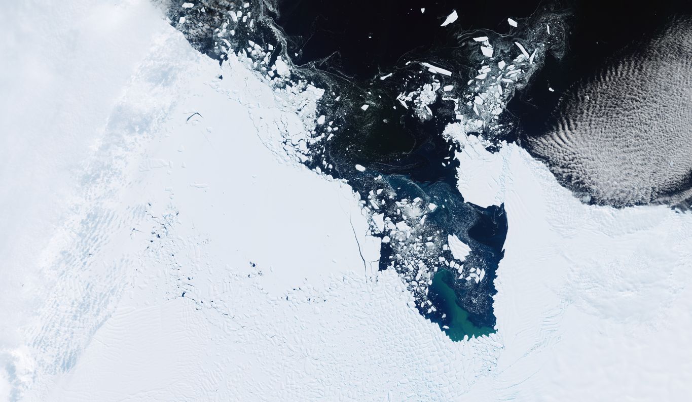 Thwaits Glacier, Antarctica. Contains modified Copernicus Sentinel data (2026), processed by ESA
Professor Andrew Shepherd, Head of the School of Geography and Natural Science at Northumbria University and founder of IMBIE, stated: “Three centimetres of sea level rise may sound small, but that puts another six to nine million people at risk of coastal flooding and erosion. With the ice sheets set to lose much more ice in the decades ahead, global assessments like IMBIE are vital to protecting communities impacted by climate change.
Mark Pattle, software engineer at isardSAT, adds: “The IMBIE project includes a large number of independent estimates of ice-sheet loss from researchers around the world, so developing this code was an important component. This software enables us to combine all these datasets together, giving us a more complete picture of how the ice mass has been changing, and greater confidence in our results”.