The main objective of the RACZIW-HYDROCOASTAL project, funded under the ESA EO Science for Society Programme, has been to maximise exploitation of SAR and SARIn altimeter measurements in the coastal zone and inland waters, by evaluating and implementing new approaches to process SAR and SARIn data from CryoSat-2, and SAR altimeter data from Sentinel-3A and Sentinel-3B.
In addition to specific objectives for each of the coastal zone and inland water domain and particular technical challenges, one of the key aims has been to link together and better understand the interactions processes between river discharge and coastal sea level.
Key outputs of the project have included global coastal zone and river discharge data sets, and assessments of these products in terms of their scientific impact.
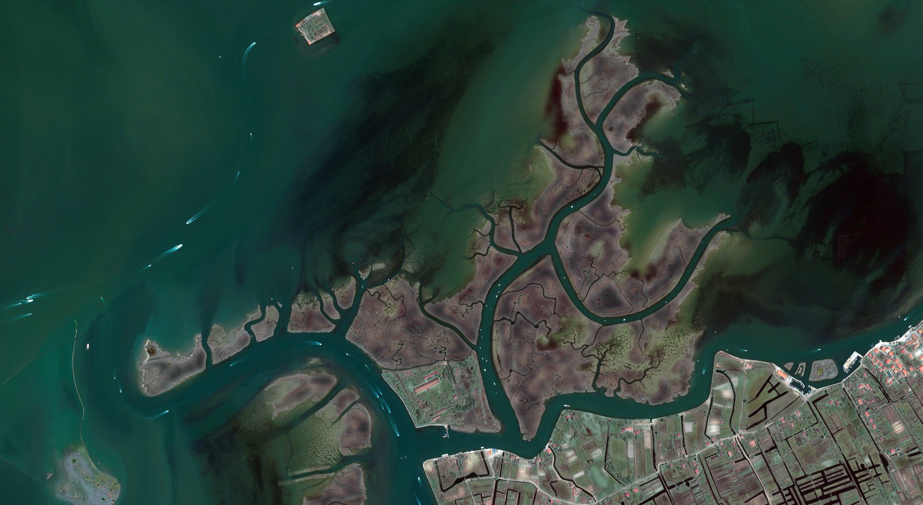
isardSAT has been in charge of developing and implementing specific algorithms, establishing a database of coastal zones and inland waters, and producing the global validated output products. isardSAT also has participateted in the scientific investigations to quantify the benefits of SAR and SARIn data from Sentinel-3 and CryoSat-2 over coastal and inland waters in a processing case study (Fully Focussed SAR) and in a joint coastal zone and inland water impact case study (Ebre river and delta).
Go to project site